 vesseltracker.com
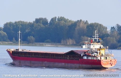
Vessel 'GLORIA GALAXY' IMO: 9014664, MMSI: 352355000
UTC, 40.51779, 18.31157, course: 325, speed: 7.2
UTC, 40.66474, 18.16767, course: 321, speed: 6.3
2026-02-01 16:57:16 UTC, 40.66474, 18.16767, course: 321, speed: 6.3
Live AIS position:
UTC. Near Porto Di Brindisi),
updated 2026-02-01 16:57:16 UTC.
Find the position of the vessel 'GLORIA GALAXY' on the map. The latter are known coordinates and path.
marine traffic ship tracker show on live map
The current position of vessel 'GLORIA GALAXY' is 40.66474 lat / 18.16767 lng. Updated: 2026-02-01 16:57:16 UTCDetails:
Last coordinates of the vessel:
UTC, 40.33282, 18.44792, course: 333, speed: 7.1UTC, 40.51779, 18.31157, course: 325, speed: 7.2
UTC, 40.66474, 18.16767, course: 321, speed: 6.3
2026-02-01 16:57:16 UTC, 40.66474, 18.16767, course: 321, speed: 6.3